

Key Takeaways
The PCH Is Not a Commute
California's Highway 1 — commonly called the Pacific Coast Highway or PCH — stretches roughly 650 miles along the state's coastline. In pure driving terms, you could cover the full route in about 12 to 14 hours. But treating it like a point-to-point commute is the most common mistake first-timers make.
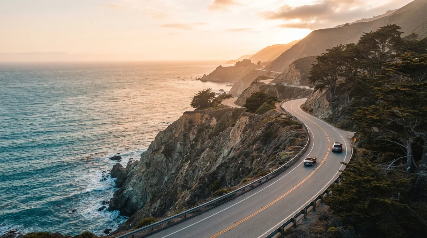
The road earns its reputation not from the miles logged, but from what happens when you slow down: a harbor seal colony basking at Point Piedras Blancas, the sudden drama of Bixby Creek Bridge emerging from morning fog, a farm stand selling strawberries a few feet from the surf. None of those moments exist on a fast itinerary.
If you're weighing how to structure the trip alongside other planning decisions, the anatomy of a well-built itinerary is worth reviewing before you map your route. Building in real margin — not just symbolic rest time — is what separates a memorable drive from an exhausting one.
Best Practices for Driving the PCH Slowly
These approaches consistently separate rewarding PCH trips from disappointing ones.
Budget at least one full day per 100 miles of coastline you intend to cover
The PCH's value is experiential, not logistical. Compressing the drive creates a situation where you're always behind schedule, which pushes you past the very stops that justify the route. A relaxed pace also reduces driver fatigue on a road with significant elevation changes and tight curves.
Identify three to five anchor stops and leave the rest of each day unscheduled
Rigid hour-by-hour itineraries collapse the moment you hit coastal fog, a slow-moving RV, or an unexpected overlook that demands fifteen minutes. A loose structure with a few confirmed stops gives shape to each day without eliminating spontaneity.
Drive north to south whenever possible for better coastal views
Southbound drivers have the ocean on their right side — meaning the cliff-edge views, beach access pull-offs, and most scenic overlooks face directly toward the driver's seat. This isn't universal, but on the most dramatic stretches it makes a meaningful difference to the experience.
Build in a full rest day at one coastal town rather than treating every stop as a drive-through
A single unhurried day in a coastal town — eating at a local restaurant, walking the headlands, or kayaking a bay — produces more lasting memories than a dozen windshield glimpses. Slow travel reframes towns as destinations, not waypoints.
Check road conditions and closures before each day's drive, not just before departure
Highway 1 through Big Sur is vulnerable to landslides, rockfalls, and storm damage that can close sections with little warning. Conditions that were passable the day before may not be the morning you plan to drive. Staying informed prevents being routed inland at an inconvenient moment.
Quick Wins You Can Act On Before You Leave
Over-scheduling is the other trap. Booking every night's accommodation weeks in advance can feel responsible, but it removes the flexibility that makes slow travel possible. Overplanning a vacation often costs travelers more than it saves them — in both money and experience.
What the Data Suggests About Driving Pace and Safety
650 mi
Approximate driveable length of Highway 1
The full California coastal route spans roughly 650 miles, though many travelers drive selected segments rather than the complete highway.
5–7 days
Recommended minimum for the full route
Travel writers and road trip planners broadly recommend at least five to seven days for the full PCH to allow meaningful stops rather than continuous driving.
Speed is a genuine concern on Highway 1. Sections through Big Sur involve narrow lanes, sharp curves, and no shoulder. Driving faster doesn't just reduce what you see — it raises real risk. Research consistently shows that speeding produces smaller time savings than most drivers expect while significantly increasing crash probability. A detailed look at the safety trade-offs of driving faster reinforces why the PCH, specifically, rewards restraint behind the wheel.
Plan for at least five to seven days if driving the full route. Three days is possible for a shortened version — say, Los Angeles to Monterey — but even then, daily driving distances should stay modest to allow for the pull-overs, hikes, and spontaneous lunch stops that define the experience.
Seasonal and Practical Considerations
Road Closures Are Common in Big Sur
The Big Sur stretch of Highway 1 is one of the most geologically active road corridors in the US. Landslides have historically closed sections for months or even years at a time. Before your trip, verify current conditions through the California Department of Transportation (Caltrans) at dot.ca.gov. Do not assume that conditions reported by other travelers even a week earlier remain accurate.
The PCH is driveable year-round, but conditions vary considerably by season and stretch. Summer brings reliable weather but heavier traffic near San Francisco and the Los Angeles basin. Spring offers lush hillsides and manageable crowds. Winter can mean stunning clarity and empty roads — but also landslide risk in Big Sur, which has historically closed sections of Highway 1 for extended periods. Always check Caltrans road conditions before departure.
If budget is a factor in trip length, planning a US road trip on a budget outlines practical approaches to extending your trip without proportionally extending costs. More days on the road doesn't have to mean a dramatically higher total spend.
For those still deciding whether a road trip or flying makes more sense for their overall journey, the road trip vs. flying comparison provides a useful side-by-side framework.